


Project Description
Montenegro is a country of South and Southeast Europe on the coast of the Balkans. It borders Bosnia-Herzegovina to the northwest, Serbia to the northeast, Kosovo to the east, Albania to the southeast, the Adriatic Sea to the southwest, and Croatia to the west. Montenegro has an area of 13,812 square kilometres and a population of 620,079 (2011 census). Its capital, Podgorica, is one of the twenty-three municipalities in the country. Cetinje is designated as the Old Royal Capital.
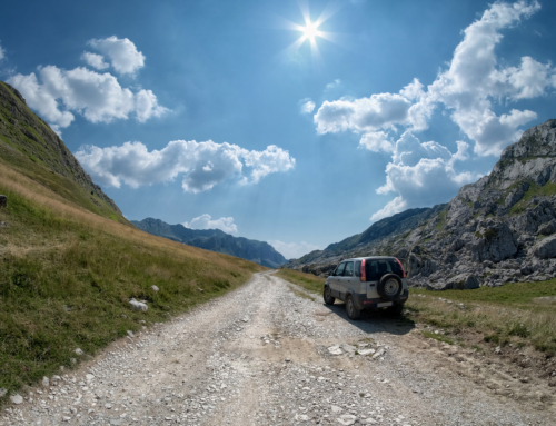
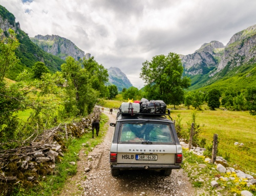
Montenegro ranges from high peaks along its borders with Serbia, Kosovo, and Albania, a segment of the Karst of the western Balkan Peninsula, to a narrow coastal plain that is only 1.5 to 6 kilometres (1 to 4 miles) wide. The plain stops abruptly in the north, where Mount Lovćen and Mount Orjen plunge into the inlet of the Bay of Kotor.
Montenegro’s large karst region lies generally at elevations of 1,000 metres (3,280 ft) above sea level; some parts, however, rise to 2,000 m (6,560 ft), such as Mount Orjen (1,894 m or 6,214 ft), the highest massif among the coastal limestone ranges. The Zeta River valley, at an elevation of 500 m (1,600 ft), is the lowest segment.
The mountains of Montenegro include some of the most rugged terrain in Europe, averaging more than 2,000 metres (6,600 feet) in elevation. One of the country’s notable peaks is Bobotov Kuk in the Durmitor mountains, which reaches a height of 2,522 m (8,274 ft). Owing to the hyperhumid climate on their western sides, the Montenegrin mountain ranges were among the most ice-eroded parts of the Balkan Peninsula during the last glacial period.
- Longest beach: Velika Plaža, Ulcinj – 13,000 m (8.1 mi)
- Highest peak: Zla Kolata, Prokletije at 2,535 m (8,317 ft)
- Largest lake: Skadar Lake – 391 km2 (151 sq mi) of surface area
- Deepest canyon: Tara River Canyon – 1,300 m (4,300 ft)
- Biggest bay: Bay of Kotor
- Deepest cave: Iron Deep 1,169 m (3,835 ft), exploring started in 2012, now more than 3,000 m (9,800 ft) long
| Name | Established | Area |
|---|---|---|
| Durmitor National Park | 1952 | 390 square kilometres (39,000 ha) |
| Biogradska Gora | 1952 | 54 square kilometres (5,400 ha) |
| Lovćen National Park | 1952 | 64 square kilometres (6,400 ha) |
| Lake Skadar National Park | 1983 | 400 square kilometres (40,000 ha) |
| Prokletije National Park | 2009 | 166 square kilometres (16,600 ha) |
Montenegro is a member of the International Commission for the Protection of the Danube River, as more than 2,000 km2(772 sq mi) of the country’s territory lie within the Danube catchment area.


